4/23 – The Chief’s “Absolutely BEAUTIFUL” Tuesday Afternoon Forecast
The forecast over the next few days and generally even into the weekend is quiet with the only real noticeable change being warmer temps and slowly increasing moisture. With one disturbance now well east of the mid-Atlantic states and another dropping across the Great Lakes today weak northwest flow will remain in place and this should provide us one more day of rather nice conditions. Only possible weather issue today could be relative humidity values this afternoon which would mainly be a concern for fire weather customers but dew-points are already a little higher than what models were indicating and even after we fully mix out this afternoon.
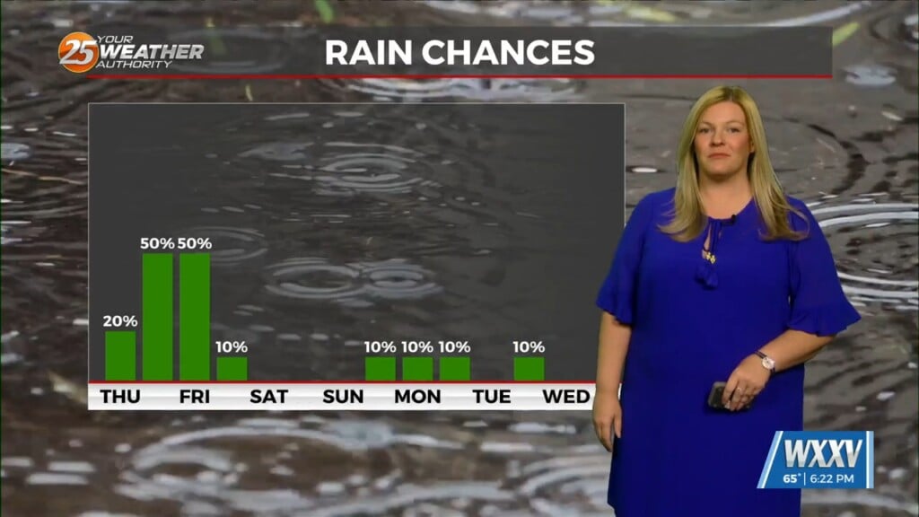
Not a whole lot to talk about in the extended. The next few disturbances pass too far to the north and everything stays out of the region until early/mid next week when we finally see another shot of rain and a weak frontal passage. Friday and through the weekend a series of disturbances will ride northeast form the 4 corners across the Plains and into the Upper MS Valley. These will all be displaced well off to our northwest and north. If that occurs then we will see an increase in cloud cover with a decent layer of high clouds expected across the area.


