4/21 – Rob Martin’s “Weekend Preview” Thursday Night Forecast
Southeast breezes will diminish temporarily tonight, but our seasonal Bermuda high pressure will extend further into the eastern gulf and across the southeast through Saturday. As a result, onshore flow continues the strong breeze off the water.
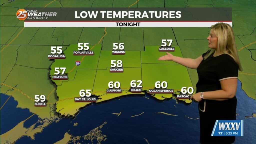
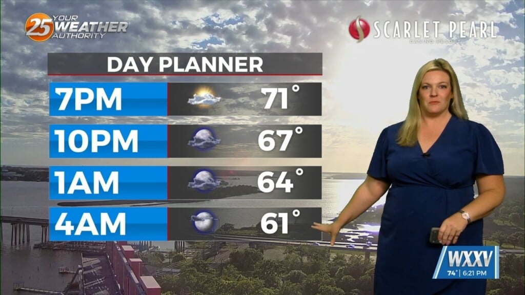
This will keep our coastal flood advisory in place through most of Friday, with tides still running 1-2 feet above normal. Forecast temps remain a bit above average, especially at night. Humidity will slowly rise also, but nothing close to our typical summer mugginess. Eventually we could reach widespread mid 80s when the trend peaks on Monday. From a rain chance perspective, we’re not carrying any through at least Saturday.
The upper level high-pressure that is situated in the eastern third of the country will continue to amplify, with a deepening disturbance in the western half with a cutoff low located around the northern plains states The trough will push eastward with it bringing a cold front into the area and our next chance of scattered showers and thunderstorms as early as Sunday, with the more-widespread threat likely on Monday. As of right now, there’s not really much of a concern for severe weather with this system. It should clear the area early Tuesday morning.
Only other thing of note in the long term is the continued above average temperatures Sunday and Monday with highs in the mid 80s and lows not far from 70.


