4/19 – The Chief’s “Rain For The Weekend” Friday Morning Forecast
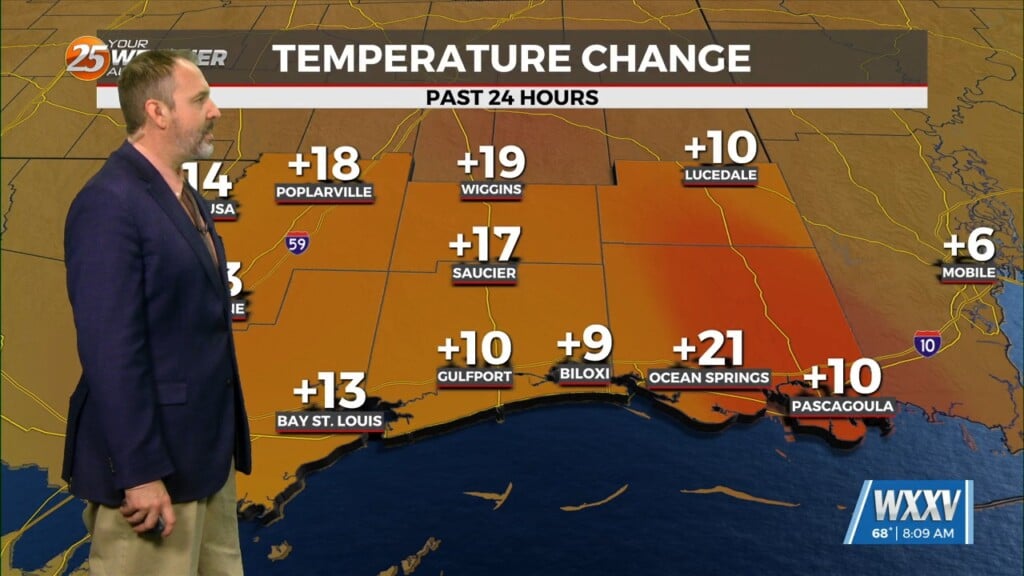
As temperatures warm into the 80s, low level instability will increase and some cumulus development is expected to take hold by late morning. However, a strong mid to upper level high pressure will remain in control of the area today, and the subsidence associated with this will keep a strong mid- level capping in place.
A cold front the NW will move very little on Saturday, but rain chances will increase by the late afternoon hours as the ridge axis shifts to the east and a fast moving shortwave trough slides through the region. Expect isolated to widely scattered showers and possibly a weak low-topped thunderstorm in the late afternoon hours Saturday. This will coincide with peak heating when temperatures are expected to rise into the upper 70s behind the front and the mid-80s ahead of the front.
Saturday night will see the front drift further south as rain cooled air from the shower activity to the north increases the density differential across the area. Southwest flow in the mid and upper levels will continue to produce isentropically forced rain shower activity through the night.
Sunday into Sunday evening will be the most unsettled period of weather as a much stronger disturbance sweeps through the region. A weak mid-level low pressure system is expected to form along the I-20 corridor Sunday morning and then quickly push eastward through the day. This weak low will drive the front well offshore by Sunday evening, and much colder temperatures are expected across the entire region. Highs will only warm into the low to mid 60s over most of the region, and this will result in a broad area of isentropically induced rainfall impacting the region through the day on Sunday.
Deep layer northwest flow aloft on Monday will continue to usher in a dry, stable, and cooler than average airmass into the region. Skies will remain clear and temperatures will be below average in the lower 70s. Lows Monday night will cool back into the upper 40s and lower 50s as the combination of light winds and clear skies supports strong radiational cooling.


