4/17 – Trey Tonnessen’s “More Humid” Wednesday Evening Forecast
Meteorologist Trey Tonnessen
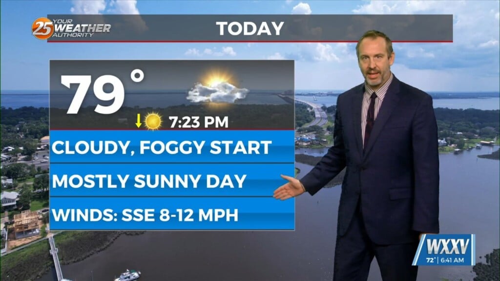
A weak upper level low is currently moving through the Great Lakes this afternoon. It is too far north to send a front down to the Gulf Coast. However, moisture convergence extends from that far north down into Louisiana. Radar shows that even though Precipitable water values are below 1.5 inches, isolated showers could stil develop over the area. Going into tomorrow, a stronger upper level trough will push south out of Canada and into the High Plains to upper Mississippi River Valley. Down here on the Gulf Coast, atmospheric column moisture content will be slightly higher than today. I will have a more in depth look at the end of this week coming up tonight at 9 and 10.
As always: A cloudy day is no match for a sunny disposition. Be nice to each other.
-Meteorologist Trey Tonnessen