4/17 – Rob Martin’s “Workweek Calm After Storms” Sunday Night Forecast
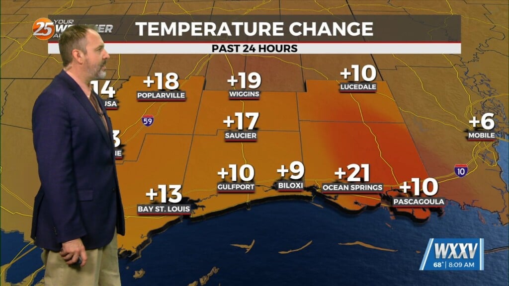
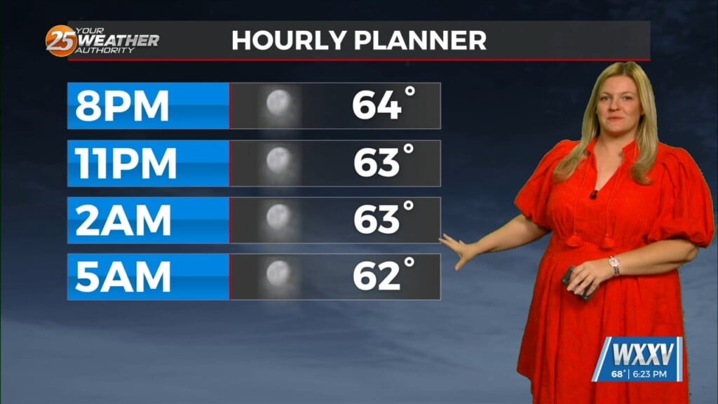
Warm weekend temps primed the atmosphere for storms. We broke a record-high Saturday, and came within a degree of tying one Easter Sunday. Despite night-time arrival, some severe storms still made it into our forecast area. This cold front will clear the area entirely shortly after midnight, dropping temperatures to the mid 60s by daybreak. Although it’ll be rather warm Monday with highs in the upper 70s, humidity will plummet, making for a splendid late-afternoon once early cloud cover dissipates.
Expect cooler nights again for Monday/Tuesday, dropping to the lower 50s, with highs again in the upper 70s as humidity remains low. We’ll warm slightly by Friday with a small bump in humidity, but for now it looks like we’ll get through the Mon-Fri period without rain.


