4/16 – Trey Tonnessen’s “Cloudy Chain” Tuesday Night Forecast
Meteorologist Trey Tonnessen
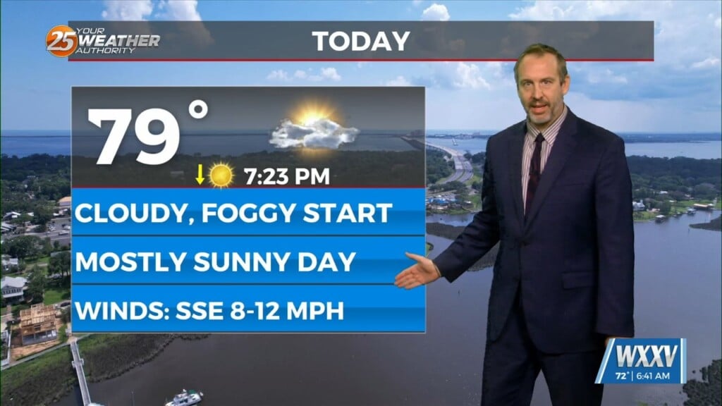
Generally, into the weekend, we see drying in the upper levels, but moistening in the lower. So, we`ll still have clouds, but more in the lower levels. In the long term, we continue with the zonal flow but have several short waves moving through the area pulling varying amounts of moisture into the area. The most significant is roughly Sunday. After this system passes, we move into dryer and cooler conditions Until the front arrives the weather will be unseasonably warm across the local area, with highs for at least Thursday and Friday well into the 80s across most of the area. As we move into the end of the period upper level moisture brings cirrus cloud cover, but mid and lower levels remain fairly dry. Rain is not an issue, although a sprinkle here and there can`t be ruled out. Temperatures will be above normal, lows significantly higher generally by 10 degrees and highs by at least a few degrees. With the pressure gradients between the high in the gulf and lower to the north we see southeasterly to southerly winds up to 10Knots.
As always: A cloudy day is no match for a sunny disposition. Be nice to each other.
-Meteorologist Trey Tonnessen