4/14 – Rob Martin’s “Somewhat Wet Easter Weekend” Thursday Night Forecast
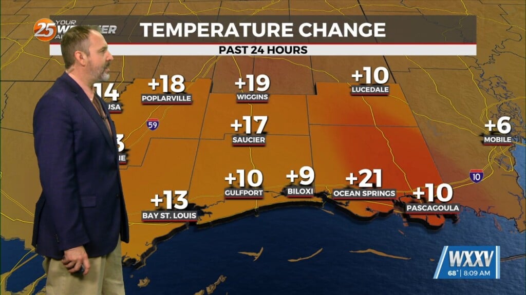
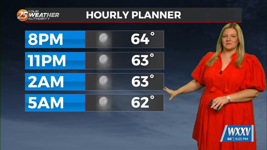
In the short term it’s looking nice. Last night’s cold front has moved offshore and weakened, but it won’t go far. Skies will remain least partially clear tonight with lower humidity. That near-full moon should be visible at times. Expect a comfy night in the lower 60s with perhaps a stray morning sprinkle.
Moisture never gets very far offshore, and as the surface high shifts east of the area, onshore flow returns on Friday with dew points rapidly returning to the 60s, which means humidity returns. The air mass will become a bit unstable, and as a disturbance moves through the Middle Mississippi River Valley, isolated showers and weak storms are possible by late-afternoon Friday. Most of this will stay to our west. Any convection that develops should weaken or dissipate shortly after sunset with loss of heating.
The pattern repeats over the weekend, shifting east. Saturday and Sunday look much more active here, with widespread showers and thunderstorms likely. Although severe weather is not likely, some heavy rain, lightning, and gusty winds could occur, which could be a nuisance to outdoor activities. Weekend afternoon temps will range from the mid 70s to lower 80s, depending on cloud cover. Nights will be mild again with lows not too far from 70.
The pesky front finally gets whisked away late Easter night, leaving us with very pleasant, drier conditions for the Monday-Wednesday time frame.


