4/12 – The Chief’s “Sunny & Pleasant” Friday Morning Forecast
MAKE PLANS FOR OUTDOOR ACTIVITIES THIS WEEKEND…
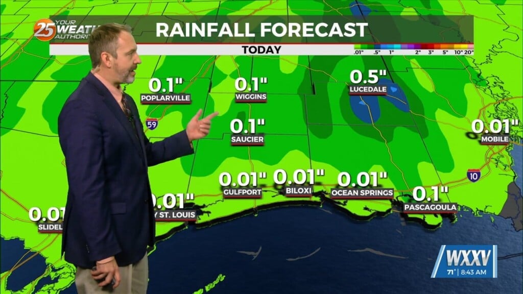
High pressure moving into the region from the NW will provide for dry conditions, which will go a long way in helping with the cleanup. These conditions will remain for several days as the area of high pressure slowly traverses the N’tern Gulf of Mexico through the weekend into early next week. A southerly wind will start up again by late Saturday bringing moisture back to the area but no rain.
The next frontal system that is on the horizon moves to a Texarkana to Lerado TX line and rapidly stalls as the next stronger frontal system is developing in the foothills of the Rockies and begins to draw on the first front over Texas. A line of showers/t-storms will continue moving east of this boundary but as it approaches our area, the forcing will be quite weak causing the showers/t-storms to decrease especially along the southern portion of this line. So, even if there are a few showers that make it here by Tuesday or Wednesday, it won’t be much and would be mainly due to moisture loading ahead of the stalled front. Another strong cold front is advertised to move into the area by the end of next week, but the timing on all global suites is extremely different.


