4/11 – The Chief’s “Rain Moving In Tonight” Tuesday Afternoon Forecast
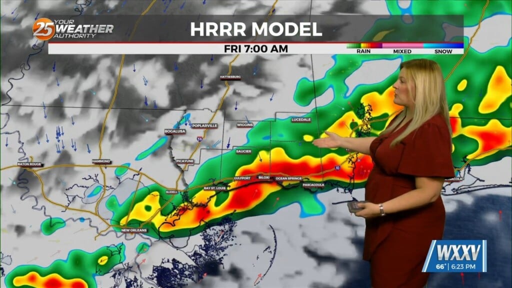
A surface low will develop rather rapidly by a strong divergent flow aloft which is also indicative of heavy rain potential ahead. The disturbance that causes this cutting off of the upper low therefore helping the divergent flow aloft is moving south this morning over north central TX. Once this rounds the base of the upper trough, it will help cause the surface low to develop as well as the break out of convection this morning that is already starting over the NW gulf.
This area of scattered showers/t-storms over the NW gulf will begin to propagate eastward later this morning. The split flow aloft causing the surface low to develop will also cause a rapid break out of strong/severe thunderstorms near the lows center. Most if not all of this activity will be over the gulf today and tonight. Wednesday will see this surface low meandering around or near the coast with a good moisture feed. This could set up a good dynamic fetch with strong SE and easterly winds along and up the eastern gulf into the north central gulf. This will cause water to pile along our shorelines and the fact that a coastal flood watch was issued for this is a great idea. We are also in a spring tide situation as well. And with these winds moving water onshore for a few to several days will cause us to move this to a coastal flood warning as there will be several places where water will be 2ft or better above critical thresholds. Normally with water 1 to 2 feet above normal levels would be mostly a nuisance but these levels will cause some action to keep property from being inundated. Although, this is not like a situation we would get with a tropical system, it will still be some abnormally high water levels that will inundate some secondary roadways that may need to be barricaded at some point possibly as early as today, but mainly for Wed through Thu.
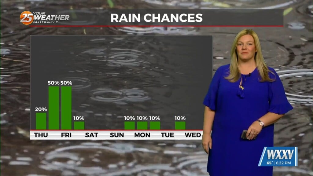
Heavy rainfall could become an issue but this should stay over the gulf and south Mississippi tonight and part of Wednesday and begin to move inland later in the day. A strong surge of moisture and warm front will rapidly move inland Wed and this is when the heavy rain comes into the picture for the central gulf coast. Mississippi looks to move into the warm sector where the rainfall could be most efficient but this could change as it will take placing where the surface low develops first.


