4/1 – Trey Tonnessen’s “Transitional Pattern” Monday Night Forecast
Meteorologist Trey Tonnessen
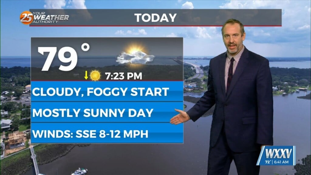
The southern end of the upper trough will progress eastward overnight and Tuesday, to be near a Chicago-El Paso line at midday Tuesday. It`s going to take most of the daytime hours to get enough deep moisture for more than very isolated convection, with precipitable water values struggling to get above an inch. Most of the convection allowing models have shown very little development across our area unless temperatures get into the mid 80s. If we have as much cloud cover tomorrow as we did today, mid 80s is going to be rather iffy. However, as we saw with the last system, any large scale forcing appears to occur to the north of the area. To make a long story short, there may be a brief window late tomorrow afternoon/tomorrow evening that may allow deep convection to develop, but confidence is rather low on development.
As always: A cloudy day is no match for a sunny disposition. Be nice to each other.
Meteorologist Trey Tonnessen


