4/1 – The Chief’s “Warm & Very Breezy April Fool’s Day” Afternoon Forecast
This afternoon will continue to bring breezy conditions from the south…increasing the moisture.
Tuesday is still the main forecast issue but honestly it doesn’t look like it will provide much of a problem for us. Overall the setup is not quite impressive for our area and even the current Marginal Risk of the northern half of the area may be a tad to the far south. A surface low pressure system will move out of the Plains through the Mid MS Valley and into the western Great Lakes and OH Valley respectively. The associated cold front is still expected to move through during the evening hours. T-storms appear to try and fire along the front as it moves into the coastal waters and coastal MS Tuesday evening/nigh. Right now given the poor LL field, the strongest forcing lagging pretty significantly, and even limited instability to work with, I have a hard time thinking much more than scattered showers and a few embedded thunderstorms will develop.
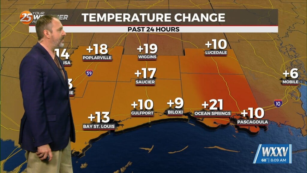
Behind the cold front much drier and cooler air will move in. Highs could be about 15 to 20 degrees cooler depending on how warm we get Tuesday. Morning lows though will see the biggest change in the next few days but even Wednesday morning lows will drop from mid 60s and lower 70s to 50s and lower 60s. Expect quiet conditions through the rest of the workweek into the weekend.


