3/6 – Brittany’s “Mild” Monday Night Forecast
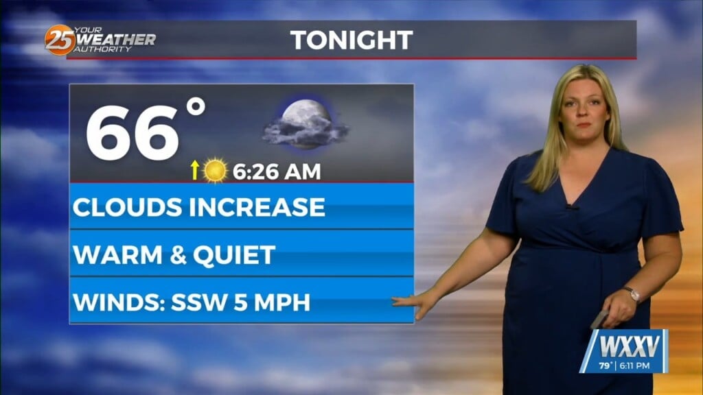
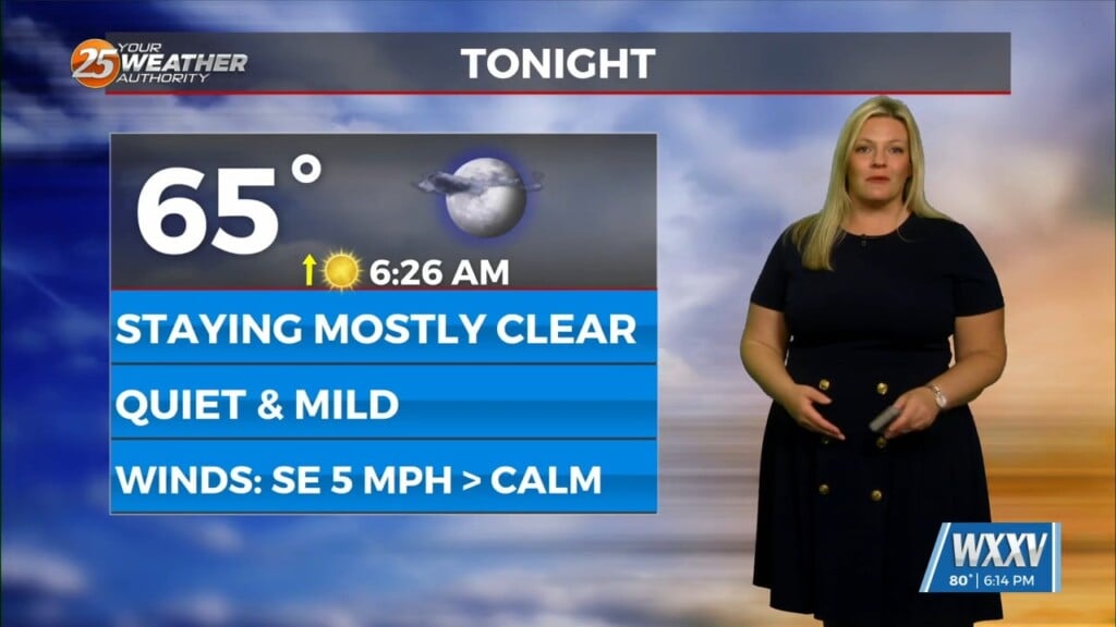
Another warm day across the region and no sign of a change at least in the short term. Fog was an issue this morning and could be again tonight. Highs today were in the lower to mid 80s everywhere except the immediate MS coast thanks to the MS Sound and with the increasing moisture the humidity temps felt like upper 80s to near 90 in a few locations.
Over the next 24 to 48 hours we will actually see the ridge build over the northwest Gulf and one would generally think should lead to warmer temps but a sfc low moving out of the OH Valley region will actually try to bring a weak backdoor cold front into the area tomorrow after/evening and that could lead to at least an increase in cloud cover and possibly a few more showers across southwest Ms and the adjacent LA parishes. Even with the small chance of weak compressional heating tomorrow ahead of that front highs may only be 1 degree warmer or a carbon copy of today. The ridge remains over the area Wednesday and whatever is left of that bndry will stall over the area but should mix out Wednesday evening with weak southerly flow back in place across the entire area that night. Little change in the overall synoptic pattern is expected on Thursday from that seen in the short term period. A broad and deep ridge of high pressure will continue to bring above normal temperatures, suppressed rain chances, and the risk of morning fog and cloud cover to the area. The fog could be locally dense at times early Thursday morning, but stronger boundary layer winds approaching 30 knots Thursday night into Friday will preclude any dense fog development from occurring. However, prevailing overcast conditions can be expected beneath a weak elevated temperature inversion.


