3/30 – Rob Martin’s “Severe Weather” Wednesday Evening Forecast
MULTIPLE ADVISORIES CURRENTLY IN PLACE. SEVERE WEATHER STILL EXPECTED. WE REMAIN UNDER A MODERATE (LEVEL 4 OF 5) SEVERE POTENTIAL THROUGH TONIGHT…
A cold front to the west with a squall line in advance of the main activity continues to move east. Low level flow will really ramp up this afternoon and evening as a HIGH WIND WARNING is in effect with wind gust in excess of 50 mph possible through early tonight. These gusts will occur before the severe storm threat arrives in the western parts of our forecast area around 7 PM, then through the remaining region afterwards. Severe storms could still be ongoing in our eastern zones (Jackson/George Counties) as late as 10-11 PM.
While the primary storm mode is expected to support damaging straight-line wind gusts to 70 MPH or more, there are some indications that it could be more of a mixed mode event with both straight-line winds and tornadoes. Considering the low and mid-level wind fields, could be a rather large swath of damaging winds with the convective line. Also, any breaks in the clouds could make favorable conditions for more tornadic development. Aside from the severe threat, pressure gradient will be tight enough to produce rather strong gradient winds for much of the day. Wind gusts to 50 mph surely not out of the question. Expect down tree limbs, difficulty driving, possible power outages, and some flying debris even before the squall line arrives.
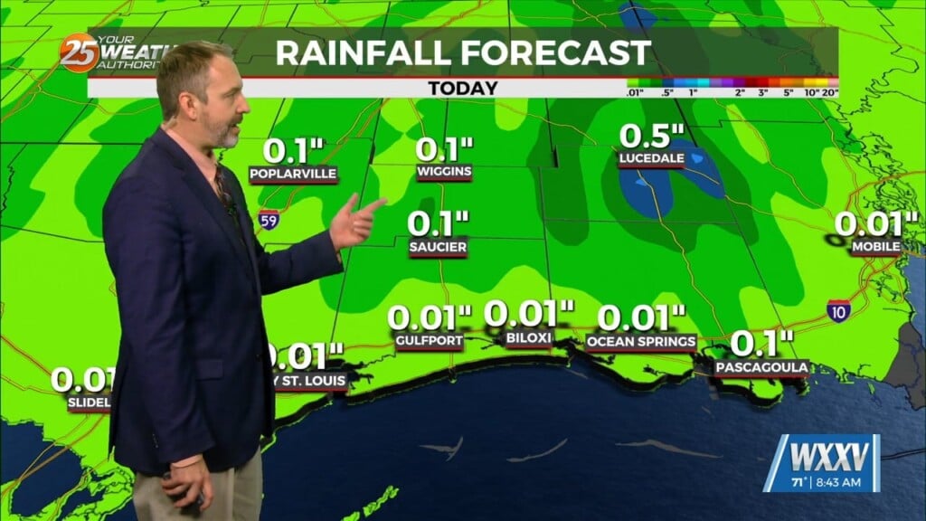
With the quick movement of the expected squall line, rain amounts should be limited to 1-2 inches in most areas. May be some isolated issues where rain comes down too quick for drainage to handle, but see no need for a Flash Flood Watch at this time. Beyond the squall line, much quieter weather in place for Thursday and Friday as frontal boundary becomes stationary over the northern Gulf of Mexico.


