3/24 – Rob Martin’s “How Long Will This Last” Thursday Evening Forecast
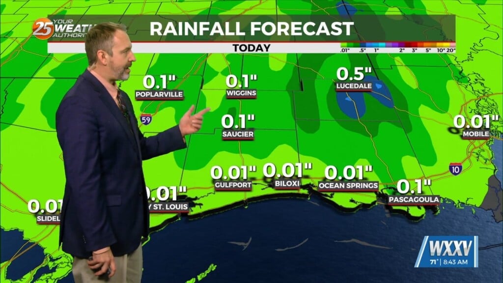
The beautiful weather continues with only minor variations expected. One of those comes this evening in the form of a weak cold front swinging through. It has very little moisture to work with, but it will bring some increased cloud cover early tonight with perhaps a stray shower or two…not game-changer stuff.
The front passes through mostly unnoticeable before midnight, but it will reinforce the light northwesterly flow over the area, keeping the nights cool in the short term. So, expect overnight temperatures again in the low to mid 40s tonight, with a few spots slightly cooler, depending on how much skies clear out behind the front (clearer skies and lighter winds produces cooler readings).
Afternoon temps remain about the same all the way through the weekend, not straying too far from 70 or so. A southerly flow returns late Sunday, so temps that night will be in the lower 50s instead of the 40s. We’ll reach the upper 70s by Monday, then close to 80 for next Tuesday/Wednesday with a noticeable bump in humidity. We get breezy then too. The next round of thunderstorms and rain holds off until late Wednesday or Thursday.


