3/24 – Brittany’s “Dry and Cool” Thursday Afternoon Forecast
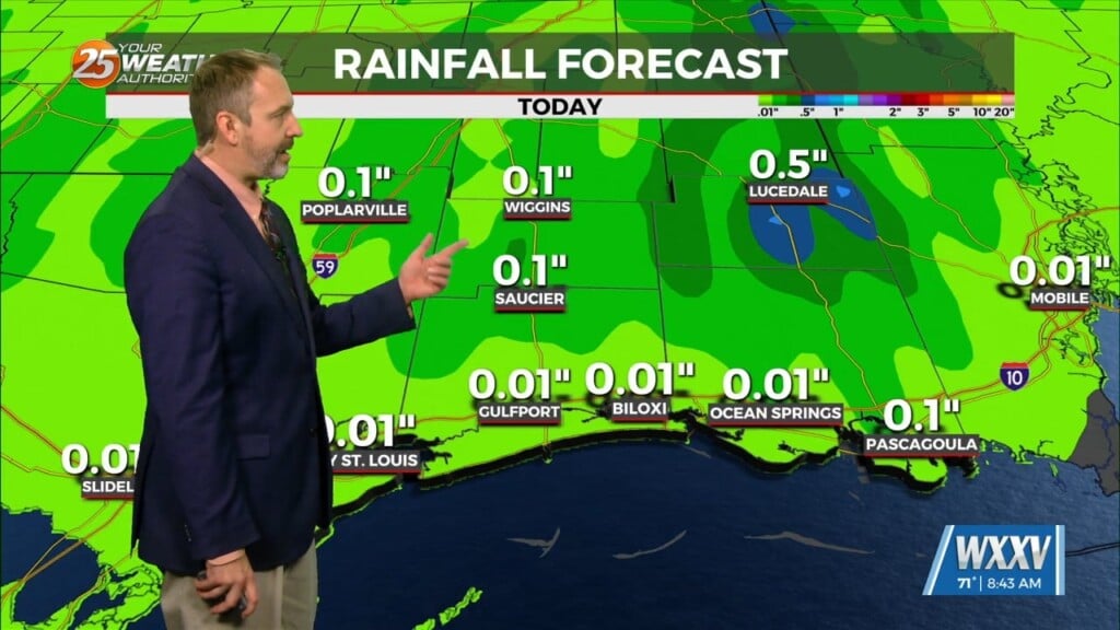
Overall much more benign with cool and dry weather is in store for the area through the short term as the upper level trough currently in the middle of the US continues to move towards the east coast. This will not have any rain but just wind shifts from southwesterly to westerly then northwesterly.
LONG TERM…
The dry weather continues although there will be a slight warming trend with highs going back to upper 70s into the 80s. The next chance for unsettled weather is going to be at the very end of the forecast period on the tail end of Tuesday as another strong upper level trough moves into the central US. Thunderstorms will be possible, and potentially could have some heavy rainfall. Trends will have to be watched for the next couple days.


