3/15 – Trey Tonnessen’s “Steadily Unsettled” Friday Night Forecast
Meteorologist Trey Tonnessen
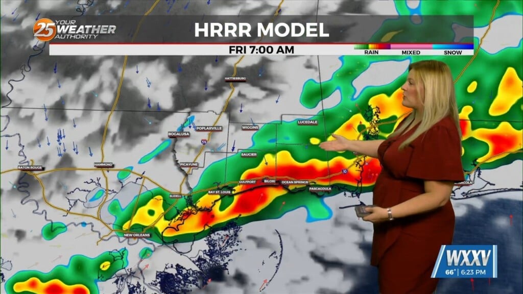
Conditions will destabilize tomorrow afternoon as highs warm back into the lower 80s and the stable layer at the surface begins to mix out. Conditions in the mid and upper level are very favorable with steep lapse rates and limited convective inhibition in place, so any updrafts that manage to punch above the less unstable layer below 700mb will quickly deepen and turn strong. The only limiting factor to more widespread convective activity is the lack of a well defined focusing mechanism. Thus, convection will be more isolated to widely scattered through the afternoon hours. The greatest probabilities for convection will be over inland areas near Baton Rouge where the warmest temperatures, in the mid 80s, are forecast to occur.
As always: A cloudy day is no match for a sunny disposition. Be nice to each other.
-Meteorologist Trey Tonnessen


