3/14 – Trey Tonnessen’s “Atmospheric Turbulence” Thursday Night Forecast
Meteorologist Trey Tonnessen
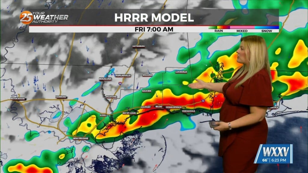
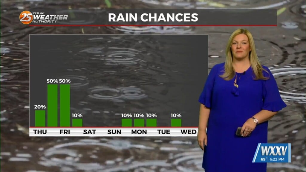
While low stratus and any fog should start to mix out after sunrise, expect cloudy conditions to persist as a cold front sinks toward the area. Rain chances will be on the rise with showers and storms forecast to be spreading into northern areas by around 9AM and continuing to spread southward through the rest of the morning and into the afternoon.
Some of these storms will be capable of efficient rainfall, with short term rainfall rates in excess of 2-3″ per hour. While these rainfall rates may not last for a full hour at a time, that kind of rainfall can overwhelm short-term drainage capacity leading to localized street flooding and other ponding in low lying and poor drainage areas. Currently the Weather Prediction Center has included the entire area within a marginal risk of excessive rainfall, which seems reasonable, given uncertainties in exactly where the corridor of heaviest rain will set up.
As always: A cloudy day is no match for a sunny disposition. Be nice to each other.
-Meteorologist Trey Tonnessen


