3/14 – Brittany’s “Warmer” Monday Afternoon Forecast
The primary forecast concern through Wednesday will be the passage of a potent upper level low-pressure and associated surface cold front across the Lower Mississippi Valley tonight into Tuesday. This strong upper level low will begin to pull east of the area Tuesday night as high pressure moves back in briefly.
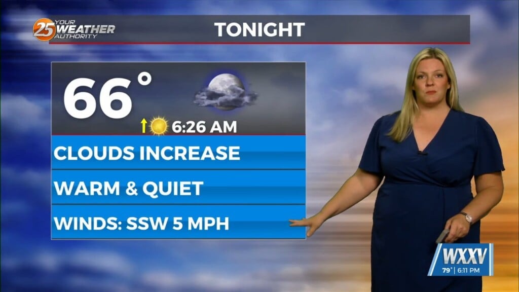
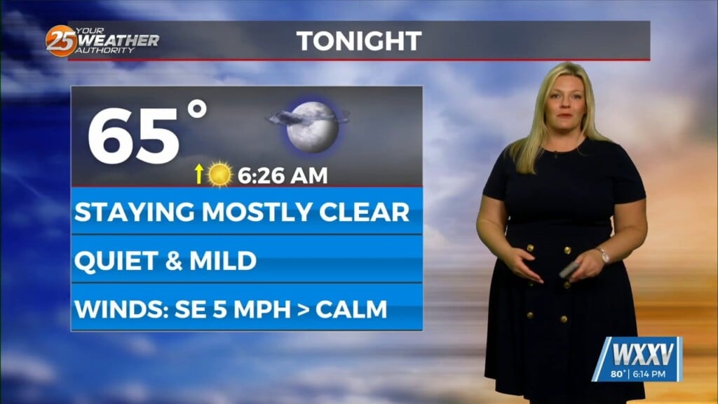
Winds have already begun to veer to a more onshore component, and this onshore flow pattern in the low levels will persist. Cloud coverage will increase in mid-level this afternoon. Scattered rain will move in overnight with a line of storms expected to sweep across the forecast area Tuesday morning.
Increasing subsidence will overspread the area Tuesday night into Wednesday as high-pressure moves in. The active pattern continues in the extended period with another disturbance slides through the region Thursday into Friday and a secondary impulse moving through for Saturday into Saturday night.


