3/13 – Trey Tonnessen’s “Rain Chain” Wednesday Night Forecast
Meteorologist Trey Tonnessen
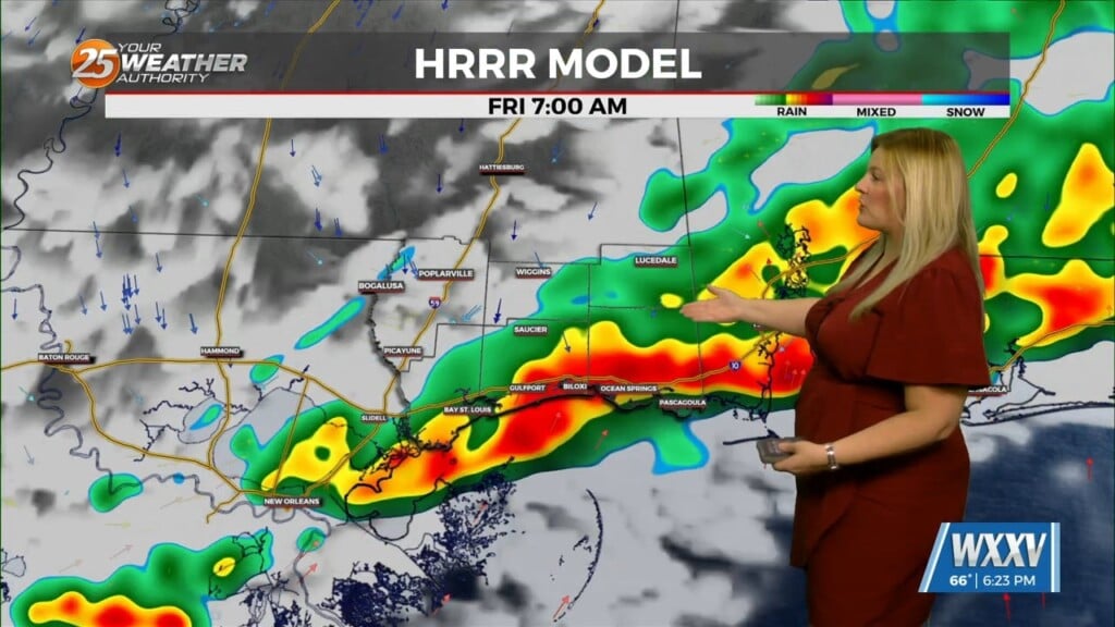
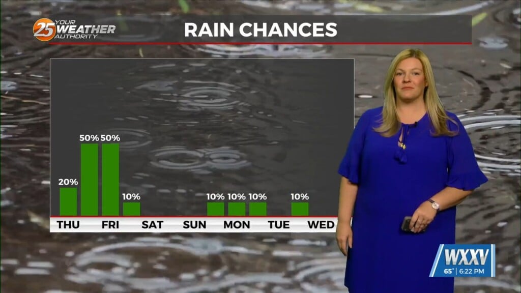
Thursday, another fast-moving shortwave trough will move through the local area. Rain chances look much better with this thanks to a little better moisture availability as Precipitable Water values approach or exceed 1.5″ compared to values to our north generally around 1-1.2 inches today. Daytime temperatures are also expected to rise a little higher tomorrow than today, leading to slightly better low level instability as well. There is still no real concentrated focus for convection though, so expect to see mainly scattered convection mainly during the afternoon hours. We most likely won’t see enough instability to support some thunderstorms in the mix as well, but atmosphere doesn`t really look too conducive for long-lived updrafts, so while one or two pulse storms could produce brief heavy rain or gusty winds, the threat of severe weather and flash flooding is low.
As always: A cloudy day is no match for a sunny disposition. Be nice to each other.
-Meteorologist Trey Tonnessen


