3/12 – The Chief’s “Sunny & BEAUTIFUL” Tuesday Afternoon Forecast
Pretty quiet conditions expected through the short term as high pressure gradually shifts eastward allowing southeasterly winds to take hold of the area. The southeasterly winds will gradually bring moisture back into the local area. Dew-points are still low enough that we should see efficient radiative cooling tonight, with lows falling into the 40s generally along/north of the I-10/12 corridor and into the 50s south of the interstate.
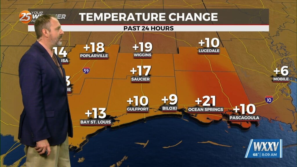
More significant warming trend begins tomorrow as the onshore flow becomes more established. High temperatures will warm into the mid-upper 70s across much of the area and lows only fall into the 50s area wide tonight. An upper disturbance still looks to pass through the region Wednesday with little fanfare. A few showers could sneak into coastal portions of southeast Louisiana, but for the most part the isolated to widely scattered convection should remain over the Gulf.
The continued moisture influx could also result in the development of advection fog across the coastal waters by Wednesday night as dew-points are currently forecast to be nearing or exceeding the near shore water temperatures, which are currently sitting in the low to mid 60s. The fog potential will exist each night through at least Thursday night.
By Friday a cold front will try to drop southeastward and technically may make it into the local area, but expect it to slow down/stall before clearing the area as the boundary becomes parallel to the upper flow. While there won`t be much of a temperature change associated with the boundary, it will still serve as a focus for convection especially during the afternoon hours Friday with the benefit of daytime heating to help destabilize the low levels. Currently carrying 60-70 rain chances across northern areas closer to the boundary with 40-50 rain chances across southern areas. However, I will mention that if the boundary sinks farther south.


