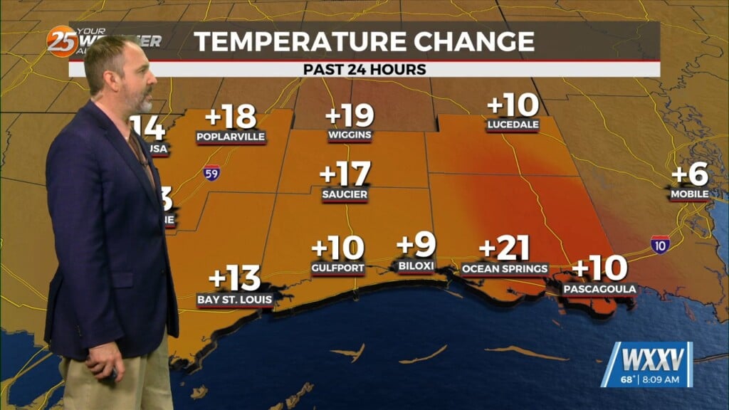
2/7 – The Chief’s “Above Seasonal Temperatures” Wednesday Morning Forecast
Today can be best characterized as the transition day across the area/region. High pressure will continue to move downstream over the Mid-Atlantic States through today. As the high moves east, onshore flow will be initiated at the surface. This will point to is increasing temperatures not only during the daytime, but slightly warmer nights with most of the forecast area only cooling into the 50s.
Going into Thursday, the pattern continues to evolve with the ridge continuing to move eastward placing our region in southwesterly flow aloft. At the surface, tighter pressure gradient develops as a leeside low tries to develop across the high plains. Strong WARM AIR ADVECTION will persist right into the start of the long term period as moderate onshore flow continues across the area.
A cold front will stall out just upstream generally from Memphis and WSW toward the Sabine River or ArkLaTex region later this week. Overall, continued the lower end rain chances given the modest QPF signal early this weekend. A stronger impulse takes shape and perhaps a surface low develops along the front increasing rain chances this weekend, however, models are targeting the mid MS River Valley as most likely where the heaviest rainfall will occur at least through Saturday.


