2/5 – The Chief’s “Cool & Cloudy” Monday Morning Forecast
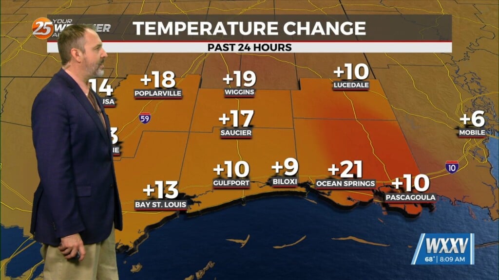
The system to the SE that brought thunder/hail to parts of the area yesterday evening will continue to meander south and east today. On the backside of this feature, there is still a couple of disturbances to pay attention to with perhaps additional shower development. That said, the moisture flow and instability in the low levels should keep mostly overcast skies across the region. This will keep temperatures from warming much today with most of the region staying in the 50s. Additionally, with the cloud cover, destabilization should be limited, which means hail potential is much lower today despite the impressively cold upper levels. With high pressure building in upstream, northerly or northeasterly winds will be breezy today and into the overnight.
Going into Tuesday, the upper level support will continue to exit stage east over Florida and into the western Atlantic. High pressure at the surface will begin to spread into the region, which should help lower winds and allow for the return of sunshine. With the increase in insolation and increased heights, expect warmer temperatures Tuesday. Roughly 10 degrees warmer than what is currently advertised for today for many locations.
The long term begins with a warming trend taking shape across southeast Louisiana and southern Mississippi. Upper level heights will continue to rise as a weak high pressure begins to migrate eastward from the southern plains. The increase in heights and thicknesses along with a developing onshore/return flow by mid to late week will all aid in allowing temperatures to climb into the upper 60s or into the 70s. The warmest locations look to be inland and across the western tier where mid to upper 70s are currently being advertised respectively.


