2/28 – Trey’s “Wind Tunnel” Wednesday Evening Forecast
Meteorologist Trey Tonnessen
A surface cold front associated with low pressure over the Ohio valley is
intruding across our area into the northcentral Gulf Of Mexico. Currently
there are some scattered areas of rain in the northern parts of the
area that will decrease as the front passes the area. The big
impact from the front will be the pressure gradient surface winds
out of the north reaching into the wide range this evening and
tonight. The winds are due to surface high pressure skirting north
of us behind the front through Thursday evening when the winds start
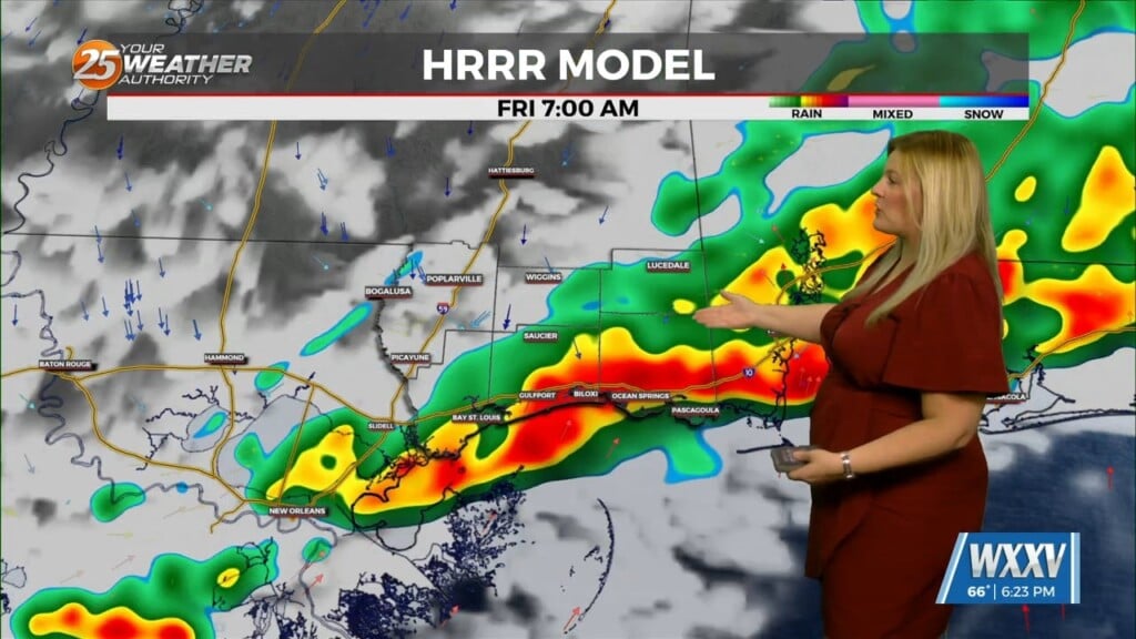
to settle. Early Friday morning a shortwave trough begins to move
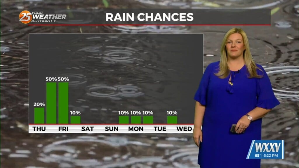
into the area sucking moisture out of the Gulf Of Mexico. Depending on the timing of
this shortwave, rain could be starting as early as the early morning hours of Friday.
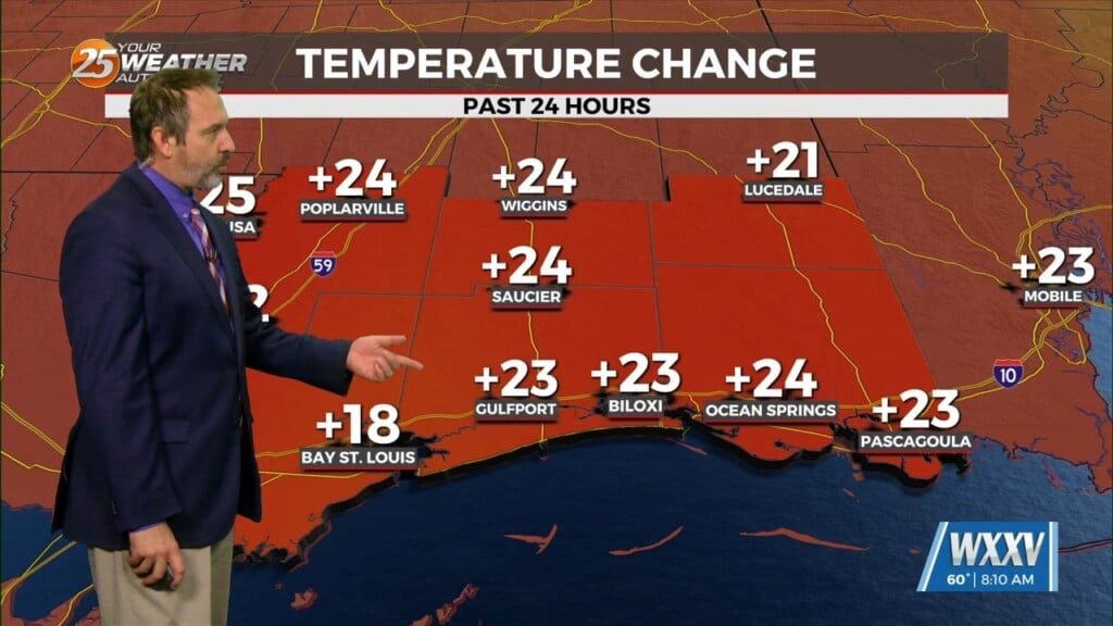
Temperatures overnight tonight will dip into the 40s north to low
50s south and rebound only to around 60 tomorrow. Then Thursday
night we begin warming slightly with lows a few degrees higher than
tonight.

As always: A cloudy day is no match for a sunny disposition. Be nice to each other.

-Meteorologist Trey Tonnessen


