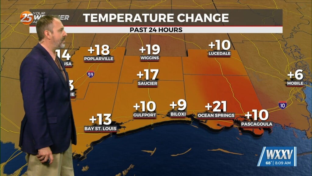
2/26 – The Chief’s “Dense Morning Fog” Monday Morning Forecast
The only story this morning will be fog developing along the MS Gulf Coast. Aloft, a dry northwesterly flow should persist through the near term period. Cannot rule out a very thin layer of cirrus developing today, however, this doesn’t look to limit insolation much and should allow high temps to warm well into the 70s especially across the northern and western tier.
High pressure to our east today will help low level dew points to begin to climb and a slight warming trend (overnight) is anticipated to develop with lows only dropping to near 60F area wide tonight. On Tuesday, the upper level pattern begins to transition to a more zonal or WSW direction. A gradual warming trend should continue with southerly winds increasing. Winds during the day may climb a bit due to mixing, but overall the primary story will be temperatures continuing to warm especially inland where lower to middle 80s cannot be ruled out.
Eyes will begin to shift upstream by midweek as a cold frontal boundary is expected to move southeastward through the region sometime Wednesday. The overall consensus is rather weak and mostly across the northeastern portions of region closer to the best dynamics. High pressure will slide eastward from the lower Missouri River basin/MO Ozarks into the Ohio River Valley by early Thursday.
By late Thursday and into Friday, an upper level high weakness will move through the Missouri Ozarks, which will help develop showers across portions of the Mid-south and lower MS River Valley. With surface convergence and weak/subtle upper level ripples within the upper level flow, expect periods of showers/t-storms to develop across the region this weekend.


