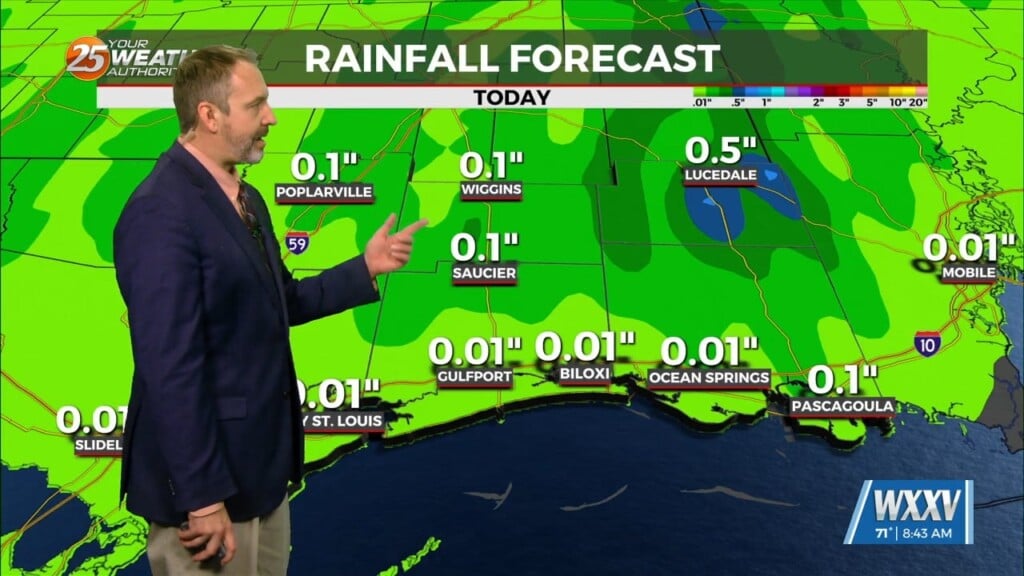
2/22 – Rob Knight’s “Foggy” Tuesday Morning Forecast
Low clouds will persist throughout the area today as an approaching cold front moves into the extreme northwestern region. The warm and humid flow from the Gulf of Mexico will persist through the rest of the workweek, elevating moisture and transporting warmer temperatures in from the GOM. Cloud coverage will be quite extensive along with elevated winds and dense overnight/early morning fog.
By Wednesday the front will slow to the northwest then stall on Thursday. This stagnant pattern will continue through Thursday night as the stationary front will get a kick out of the area Friday morning. Rain Friday morning will depart by early afternoon with improving conditions into Mardi Gras Weekend.


Leave a Reply