2/21 – Jeff’s “Warm & Lovely” Mardi Gras Afternoon Forecast
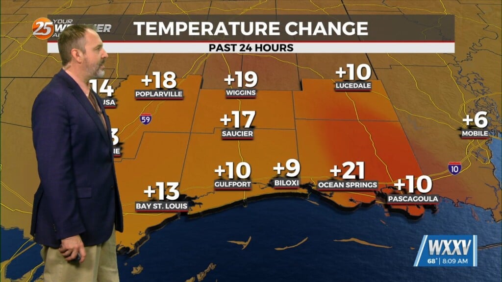
You could not ask for better conditions for Mardi Gras Day. Temperatures will max out around 15 degrees above seasonal averages this afternoon. Breezy conditions and partly to mostly skies will be in place. Clouds will not bring any chance of rain today.
Overnight, mild conditions will be in place. If winds back down enough, light sea fog may be around south of Interstate 10. Widespread fog is not on the table. The warm and humid pattern will remain in place through the rest of the week. The train of frontal systems will continue to ride to our north. Record high temperatures could be broken this week!
A system that will be bringing a winter storm to the Midwest will have a trailing cold front near our area. It will provide enough lift to bring a 20-30% chance of rain Thursday and Friday, with 10-20% chances early Saturday. Deep moisture will exit the picture this weekend. The warmth will remain into next week.


