2/12 – Brittany’s “Cold End To The Weekend” Sunday Night Forecast
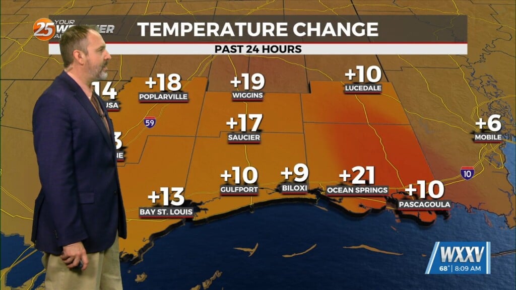
Rising surface pressures and drier air are providing more pleasant conditions across the area today as the upper low, now over the Carolinas, continues off to the northeast. Gusty winds that were present across the coastal areas and offshore this morning should continue to taper off this afternoon and through tonight as the center of the surface high moves overhead by Monday morning. Skies should remain mostly clear into the day tomorrow which will allow for efficient radiative fluxes over the area. Low temperatures should dip back into the upper 30s across the northern CWA and low 40s south of the tidal lakes. Temperatures will warm up quickly on Monday with high temperatures expected to be in the upper 60s to low 70s. NBM guidance remains too high with dew point temps mixing out quick during peak afternoon heating so have lowered them to 10th percentile during the daytime. Given how temperatures exceeded guidance today, it`s likely they will tomorrow as well and thus temperatures were increased.
Winds will gradually switch to become southerly as the surface high moves east of the area on Monday evening which will enable the beginning of more efficient moisture return to the area. Upper-level clouds will also begin to increase as the next southern stream system currently situated off southern California begins to eject into the Great Plains. With increasing dew point temperatures and increasing cloud cover, low temperatures on Monday night will be warmer with most areas in the upper 40s to low 50s.


