2/11 – Trey Tonnessen’s “Overnight Severe Risk” Sunday Night Forecast
Meteorologist Trey Tonnessen
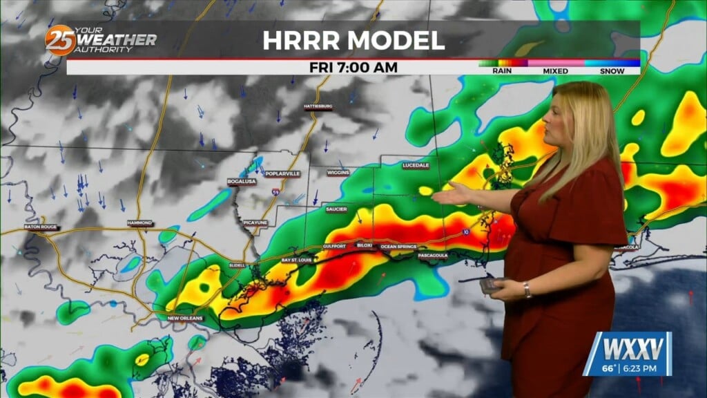
As our afternoon arrived we had been watching the storm system to our west as it approached Saturday into Sunday. The setup for Sunday into Monday is mostly flowing as expected. There are two rounds of thunderstorms that both pack severe potential. The first round has already moved through, and stayed mostly all to the north/central portion of Mississippi. Since we did not receive much if any rain here on the Mississippi Gulf Coast; our atmosphere has been allowed to remain relatively unstable as we progress into the overnight and morning hours. The second wave of thunderstorms has already prompted a TORNADO WATCH for central Mississippi and southeastern Louisiana. The potential remains for damaging winds, large hail, flash flooding, and possibly a few tornadoes. The coming wave of thunderstorms looks to be tracking towards a time frame of starting around 3AM to 4AM. At that time Meteorologist Jeff Vorick will be arriving for the morning shift.
As always: A cloudy day is no match for a sunny disposition. Be nice to each other.
-Meteorologist Trey Tonnessen


