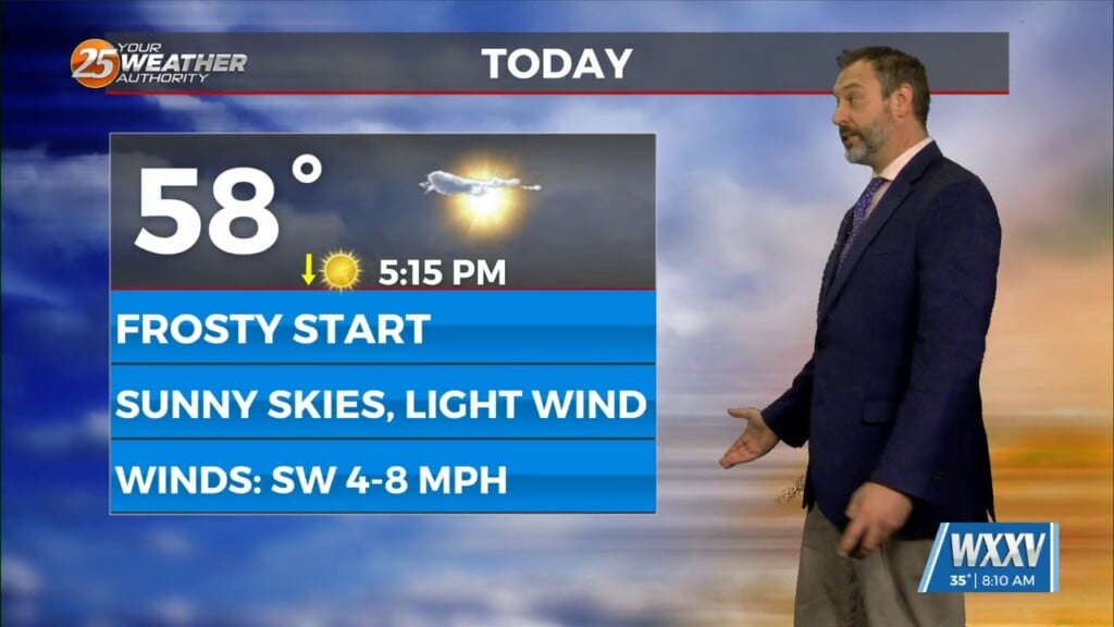
12/30 – Rob’s “WET” Wednesday Forecast
With a warm front in the NE gulf of Mexico retrograding back to the NW, showers & thunderstorms have developed early this morning. The warm front will linger along the northern gulf through the weekend which could provide for HEAVY RAINFALL…2-3 inches. The next few days will mainly bring a rain-event with embedded thunderstorms, foggy conditions and the potential for flash flooding. Rainfall potential will decrease Friday afternoon through the weekend as the boundary will begin to drift to the east.


Leave a Reply