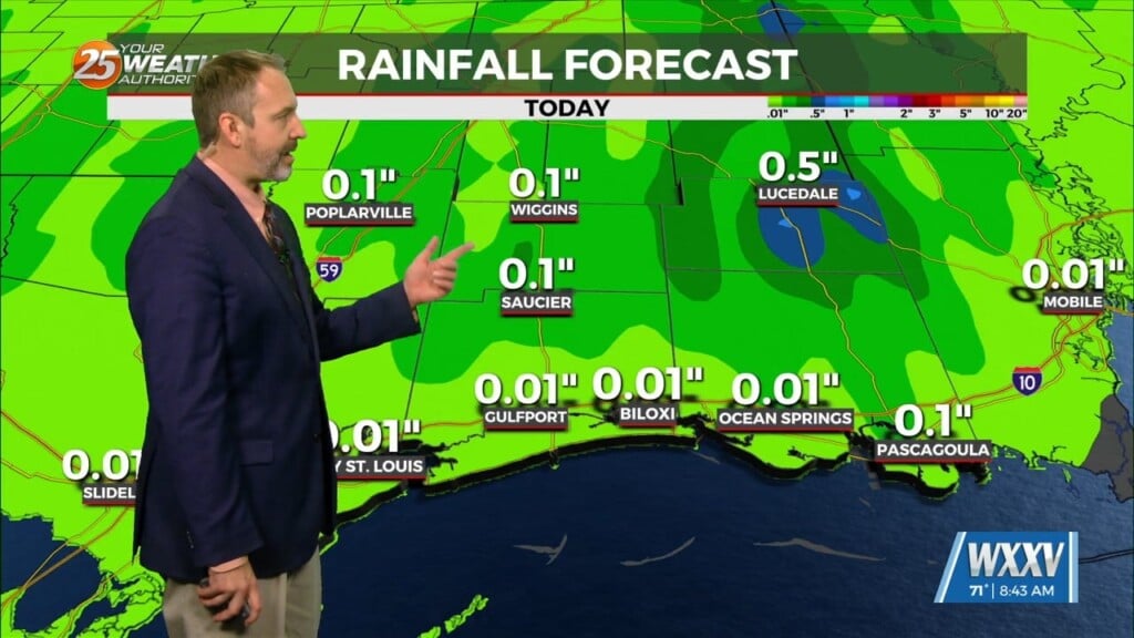
12/13 – The Chief’s “Warming Trend” Wednesday Morning Forecast
Weak high pressure in the upper levels will work in tandem with a surface to mid-level based high pressure system centered over the Deep South, will induce strong subsidence and continued dry conditions across the entire forecast area through Wednesday night. The only moisture feeding into the area will be associated with a deepening low pressure system displaced well to the south over the Yucatan Peninsula.
Moisture will be limited to a scattered to broken thin cirrus deck overspreading the Gulf Coast. Otherwise, no cloud development of any significance is expected through tonight. Overnight lows will be between 5 and 10 degrees warmer in the 40s and lower 50s tonight as the cirrus deck thickens and winds remain more elevated between 5 and 10 mph. These conditions will help to inhibit radiational cooling tomorrow night even with an overall dry airmass remaining in place.
Starting Friday, in the upper levels, high pressure will remain over the eastern half of the US At the same time, a closed low and a fairly deep trough will move out of the southwest and become centered over the TX panhandle. For the surface regime, we start the period with a bit of weakness in the central GOM and into Saturday see a Gulf Low forming and proceeding on a northeasterly track across Florida and up the east coast. This will bring rain with a few embedded t-storms to the area with the majority of energy staying into the outer-coastal waters.


