11/6 – Trey’s “Changing Pattern ” Monday Night Forecast
Meteorologist Trey Tonnessen
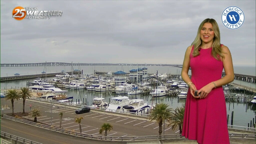
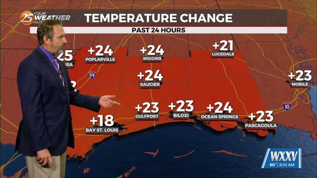
Less efficient radiational cooling will mean that the set-up for radiation fog will need some help from moisture advection in order to produce fog tonight. Winds won’t be strong enough to efficiently advect moisture, which means patchy fog is more likely than dense fog for our viewing area, besides the coast. Regionally speaking, the highest probability of fog appears to be parts of the Mississippi Coast. Onshore flow on Tuesday and Wednesday should continue to bring dew point temperatures higher and subsequently; highs will be warmer in the middle of the week. The primary hazard in the short term remains dense fog potential on Wednesday and Thursday mornings. A combination of radiative and advective fog set-ups will make dense fog development more likely beginning Tuesday night with highest potential covering southwest and coastal Mississippi and continuing into the northern Florida counties both days.
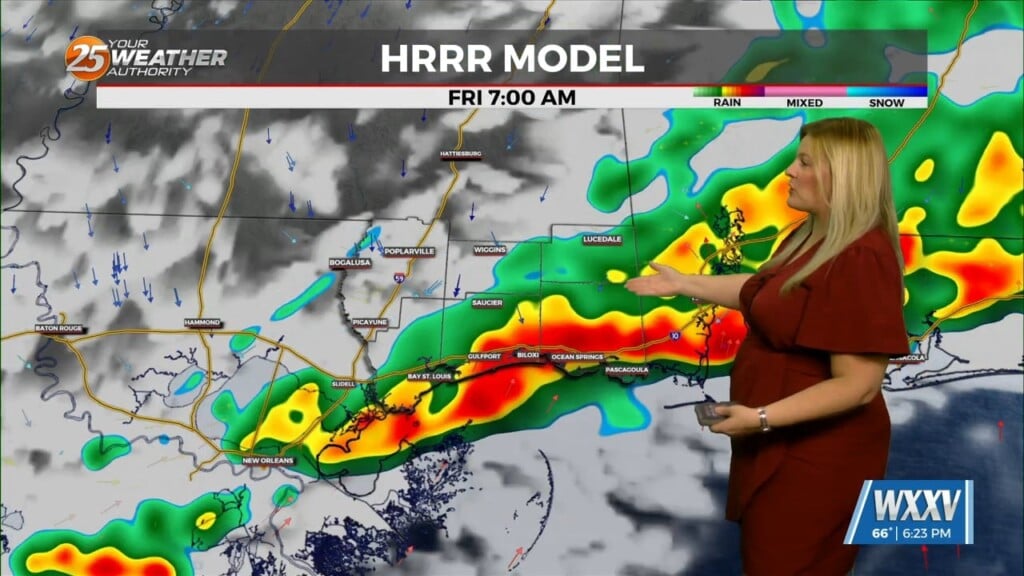
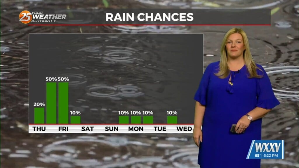
I am also focused on the arrival of a frontal system, which currently appears to be timed between Thursday and Friday. This front will provide multiple chances for rainfall over the next seven days, but the day when storms seem likely is Friday. More specific timing will become clearer in your WXXV News 25 Meteorologist’s on-air forecasts over the next few days. Be sure to download our WXXV Weather App for the most up to date and area specific breaking weather information straight from the weather center here at the station.
As always: A cloudy day is no match for a sunny disposition. Be nice to each other.
– Meteorologist Trey Tonnessen


