11/16 – The Chief’s “Gray & Gloomy Continues” Thursday Morning Forecast
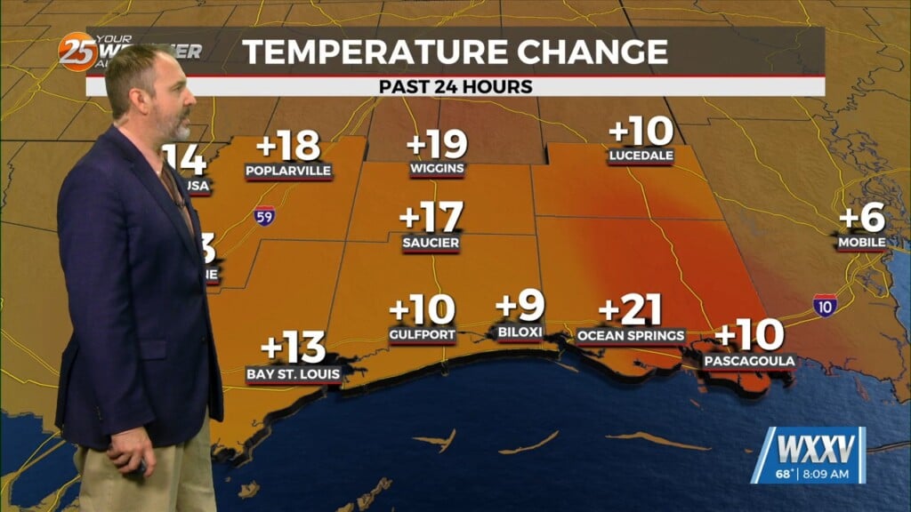
The upper level support for the system to the SW has now moved to the NE. The surface feature is to the south of the Florida Panhandle, with the surface low well to the south of our coastal waters. Very patchy light rain or drizzle across about the eastern half of the area this morning, but not producing much more than a hundredth or two in any 3-6 hour period. Northeast winds are holding temperatures in the upper 50s to middle 60s under cloudy skies.
The upper feature will make a bit more eastward progress today, but it’s doubtful that the feature moves far enough away for us to entirely lose the low cloud deck. In fact, I’m not particularly confident we even get rid of the low clouds tomorrow, with forecast soundings indicating low level RH values of 75-80 percent. As the upper system pulls away, we should lose the very light rain or drizzle this morning.
A northern stream disturbance will push a front across the area Friday night into Saturday morning, but will have very little moisture to work with. Isolated showers could occur late Friday night, but expect most of the area to remain dry. Saturday high temperatures will be extremely dependent on cloud cover. If we can get considerable sunshine, temperatures could get well into the 70s.
Weak high pressure will move across the area later in the day Saturday and Sunday, before a strong trough moves out of the Rockies toward the area late Sunday and Monday. As is usual 5 days out, there are timing and strength differences between the operational models. There are some signs that we could see strong storms with that system, but not everything in place for high forecast confidence in details quite yet. Shear and instability look at least somewhat favorable, and with the surface low forecast to track somewhere around the Memphis area, we’d be in the warm sector prior to frontal passage.


