11/13 – Sam Parker’s “Possible Severe Storms” Wednesday Midday Forecast
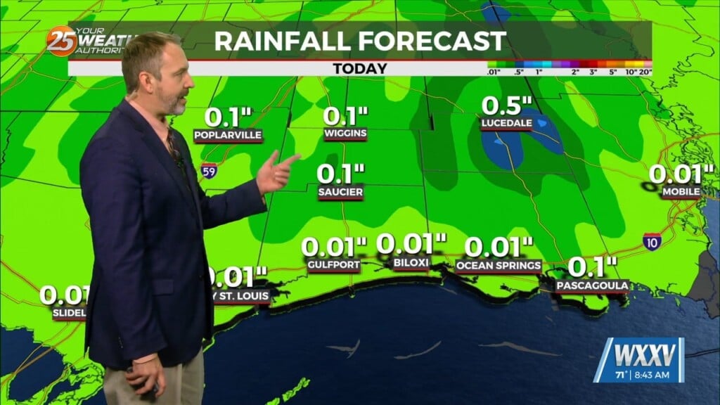
Tuesday was much cooler than it has been thanks to the consistent light rain that stuck with us for the front half of the day, but stormy for Hancock and Pearl River counties during the forecast. That’s due to an approaching cold front coupled with the remnant low left over from Rafael lingering in the area. This will add just enough lift and moisture to bring about a low but possible chance of severe weather. That means lightning, damaging winds, tornadoes, and flash flooding are possible. I do not see a chance for hail to form. Otherwise, expect it to run warmer than yesterday did with lows around 73 and highs near 80 across South Mississippi. Tropics we’re still waiting for Sara to come together in the Caribbean, which is likely to happen over the next couple of days. This system looks to hang around the West Caribbean for a few days, then drift northward, possibly landfalling in Southwest Florida as a decently organized storm.


