10/27 – Trey’s “Counting Sheep” Friday Morning Forecast
Meteorologist Trey Tonnessen
Patchy dense fog has been noted across the northeast portions of
the area as winds have began to shut down over those areas.
Expected more fog development this morning as the winds continue
to shut down across the northwestern areas. Other areas will
struggle to shut the winds off due to the winds coming off of the
water. The upper-level ridge over the northern Gulf will stay
around through the weekend before the next cold front comes in.
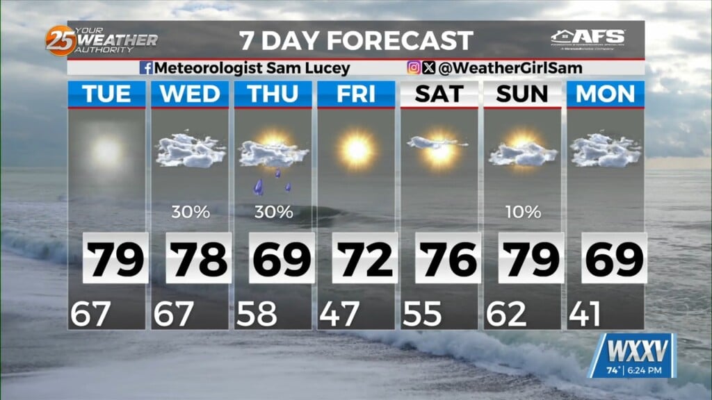
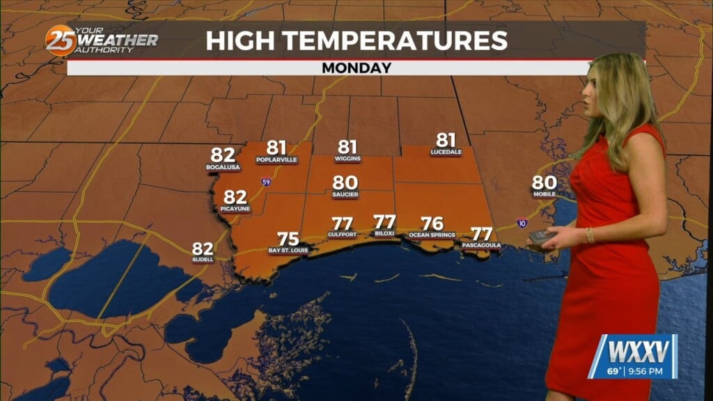
This will keep us near record temps while not providing much in
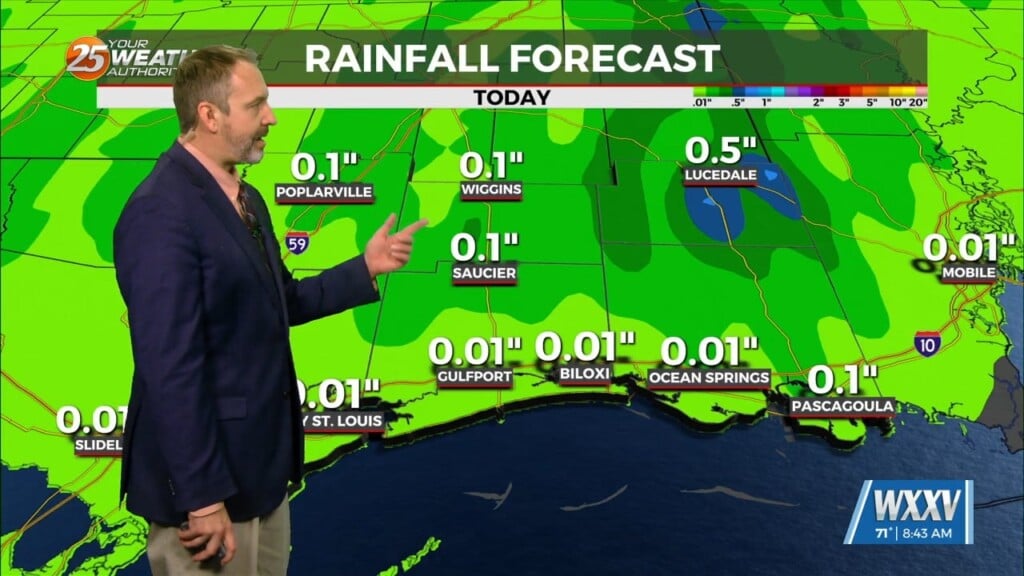
terms of rain coverage. The weakening low-level winds provides
less low-level convergence to promote as much shower development
as there has been over the past couple of days, so PoPs were not
upped this go around for today.

The main concern is fog setup tomorrow and Saturday morning with
the weakening winds and moisture ahead of the front. All
indications that this will be mostly a radiation fog event with
the the trend of winds slacking off. SREF probs are especially
hitting the fog hard as <1sm probs are 65% across much of the area
excluding south of the lake. A dense fog advisory will likely be
needed for tomorrow morning for a more widespread area than this
morning. Now with the ongoing fires around the area, smoke will
locally reduce visibility to near 0, so be mindful of that. Winds
pick up slightly on Sunday morning, therefore the fog does not
seem as widespread as it will be tomorrow morning.

As always: A cloudy day is no match for a sunny disposition. Be nice to each other.

- Meteorologist Trey Tonnessen


