10/26 – Trey’s “Pushing Buttons” Thursday Morning Forecast
Meteorologist Trey Tonnessen
This persistent pattern looks to stay around through the short-
term period as upper-level ridging meanders over the northern
Gulf. Surface winds have remained elevated as the deepening low
pressure over the central US tightens the pressure gradient
between it and the surface high over the southeast US. This has
mostly kept our fog development at bay as the high winds help to
mix out the boundary layer enough. Although, where winds remain
light, can`t rule out some patches of fog here or there, not
nearly as dense and widespread as the beginning of the week.
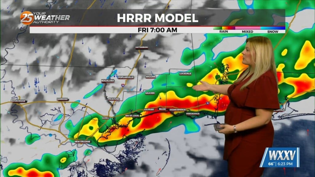
Mentionable PoPs have been added through the river parishes as
CAMs continue to depict shower development in that area where
low-level convergence in the wind field maxes out. The profile
suggests that these showers will be no more than just showers as
we remain too warm aloft from the ridge to promote more robust
storm development.

As the trough over the southern plains ejects off to the
northeast, it will take the surface low with it and that will help
to relax the pressure gradient, which will in turn lower winds
back down. Although winds will be lighter, they will still remain
elevated enough to keep fog development minimal Friday morning.
The ridge will still be in place over us, so expect much of the
same conditions as today, except winds slightly less than
Thursday.

As always: A cloudy day is no match for a sunny disposition. Be nice to each other.
- Meteorologist Trey Tonnessen


