10/17 – Trey Tonnessen’s “Smoke” Thursday Night Forecast
Meteorologist Trey Tonnessen
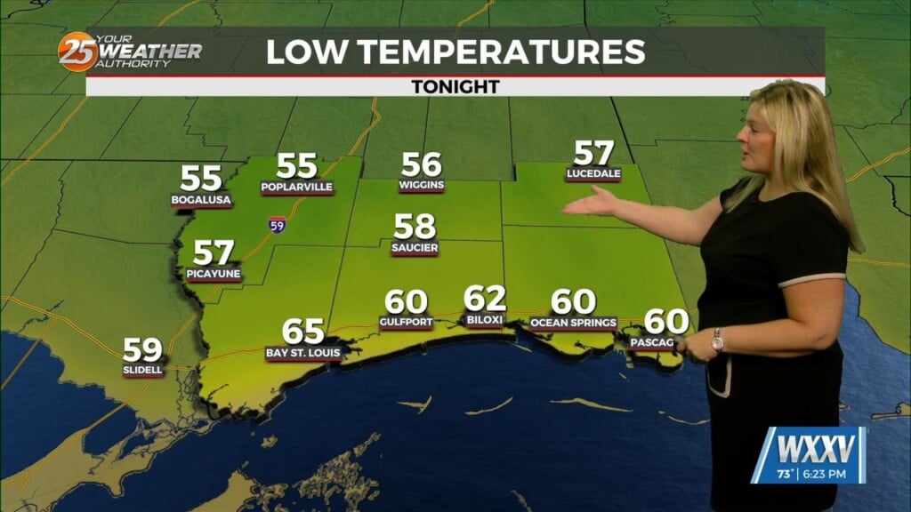
After starting our day in the 40s, we`ve made it all the way up into the low 70s. An exceptionally deep layer of dry air is entrenched on the backside of the strong long wave trough exiting the eastern CONUS spanning down the entire Mississippi River Basin and into the southeastern CONUS. With PWATs at daily record minimums and high pressure settling in across the eastern CONUS it`s safe to say we`re not getting much in the way of rain chances anytime soon. As a side note, we actually did reach the upper 30s within the Pearl River and Pascagoula River basins in associated with the river drainages and have nudged temps down in these areas again tonight given the similar regime with light winds.


