10/06 – Brantly’s “Foggy” Wednesday Morning Forecast
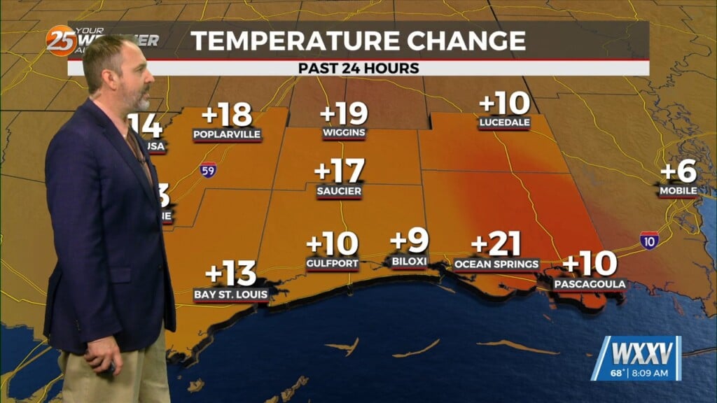
Temperatures will not change much over the next few days while this low pressure system moves out of the area. There will be plenty of sunshine for most of our area, so high temperatures will still be in the mid- 80s, and low temperatures will be in the upper 60s for most places over the next few days. While the temperatures won’t change that much, it will feel a bit nicer the next few days though thanks to lower humidity after the system progresses through. So, overall we will have drier and slightly more comfortable weather in store for the next few days with the chance of a shower or two along the coast tonight and tomorrow.
The disturbance that has been keeping us in a rainy pattern is expected to move out of the region, and high pressure begins to dominate the area with conditions expected to be rather pleasant. As the high begins to build into the region, temperatures are expected to start to come back up. The next potential weather maker, however, is expected to start its development over Central Plains on Sunday. As a disturbance moves over the Rockies, it begins to transition into a low pressure system as it hits the Panhandle of Texas and Oklahoma. As the boundary of this system clips the northern portion of our area, our afternoon rain chances do increase, however it is a gradual increase in the Monday and Tuesday afternoon hours. The main question will be how strong the boundary is and how deep into the Deep South the boundary progression will be.


