1/8 – Trey’s “Enhanced Severe Risk” Monday Night Forecast
Meteorologist Trey Tonnessen
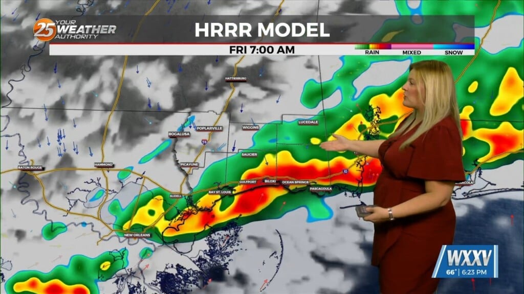
As the line of storms and cold front move through, winds will shift to a more westerly or northwesterly direction. The front will likely move into the NOLA area around midnight and across the Mississippi Gulf Coast by around 3:00 AM. Strong gusty winds and tornadoes will remain the primary concerns. Additionally, flash flooding will continue to remain possible, however, the overall threat will continue to decrease behind the line of convection. It appears most of the convection at least north of the lake is on the elevated side. For this activity to become surface based, some moistening at the surface and or warming needs to take place. A Tornado Watch continues through the overnight hours for the entire region. As a line of convection moves east, the Tornado Watch will most likely be trimmed down following the line.
As always: A cloudy day is no match for a sunny disposition. Be nice to each other.
- Meteorologist Trey Tonnessen


