1/11 – The Chief’s “Warmer & Breezy” Thursday Morning Forecast
The main forecast issues will be the potential for severe weather late tonight and Friday morning, along with rather gusty winds on Friday. Temporarily fairly zonal flow across the Gulf Coast states, with a disturbance north streaming some high clouds across the area. A much stronger feature was moving through the Inter-mountain West. At the surface, high pressure had shifted well east of the area and was centered over Florida this morning.
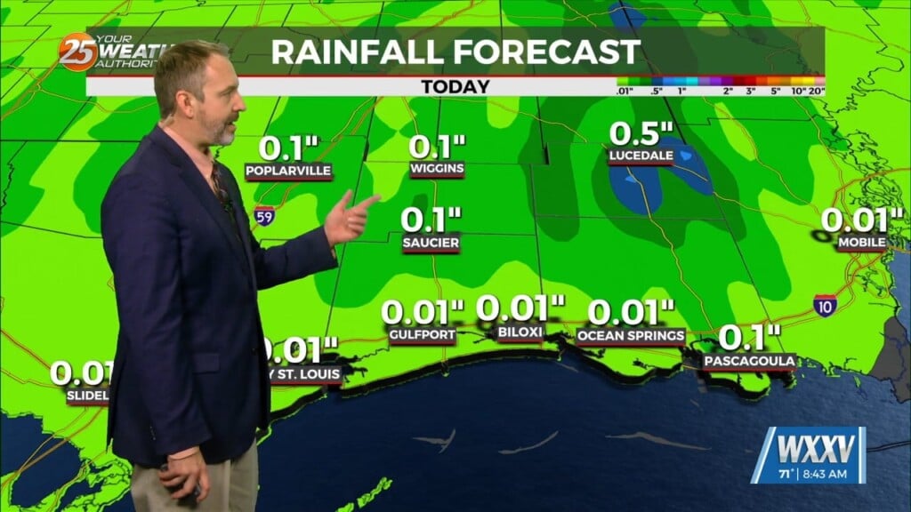
The disturbance near Las Vegas will move to Texas this evening and into the middle Mississippi River Valley by midday Friday. Deep moisture ahead of the system is going to be on the sparse side. Additionally, forecast soundings indicate a 2-3C cap in the mid-levels overnight for most of the area. I can’t rule out some showers overnight, with any significant threat of thunder holding off until very close to sunrise Friday. I do however see a 3-6 hour window, where surface based convection has a much better chance of occurring, as moisture and instability will be sufficient, especially north of Interstate 10. The better threat will be north of our area, but if a supercell can become organized and sustained, the severe threat is there, with all 3 modes (wind/hail/tornadoes) at least possible. Instantaneous areal coverage isn’t expected to be solid by any means, but over a 6-12 hour period, most areas will see some rain. The front will move quickly eastward across the area, with most or all precipitation likely ending by noon Friday. Most rain amounts are expected to be well under one half inch.
One thing that will be pretty definite on Friday is wind with deepening low pressure near Memphis Friday morning. Sustained winds are expected to be 25-30 mph across most of the area by or shortly after sunrise Friday with gusts to around 40 mph likely.
Hope everyone enjoys the warm temperatures today and tomorrow morning, because they`ll be gone after that. Major cold outbreak is expected early to mid-week next week, with the coldest air of the season. The coldest air is expected to arrive late Monday and continue through Wednesday before moderating somewhat late in the week.


