09/06 – Brantly’s “Wet Weather Through Mid-Week” Monday Evening Forecast
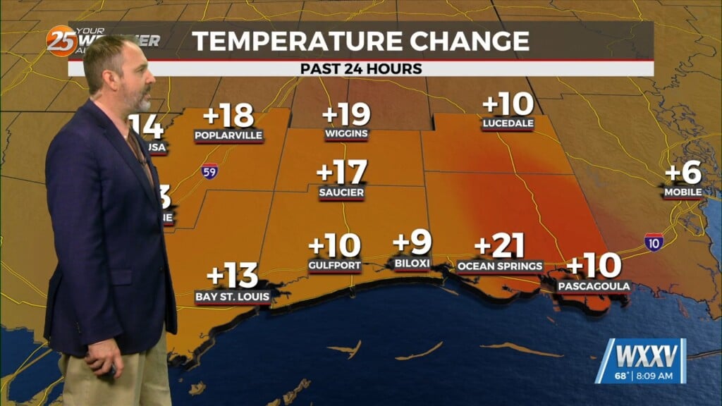
An upper level trough will otherwise continue to dig southwestward and extend across Louisiana into central Mississippi tonight, and then become oriented from near the TX/LA coast through southeast MS during the day Tuesday. The surface front will meanwhile continue to extend across far southern and southeastern LA and into southeast MS tonight and may retreat northward across southeast LA into south central MS during the day Tuesday. A plume of deep moisture will continue to extend along this feature tonight into Tuesday. Additional showers and storms may develop along the boundary overnight, with the best chance confined along southern/ coastal portions of our forecast area late. The plume of moisture advances into our central and eastern zones during the day Tuesday along the retreating boundary and additional scattered to numerous showers and storms are expected to form along this feature through Tuesday afternoon. A moist airmass may still support locally heavy rainfall and localized flooding concerns. WPC has maintained a Marginal Excessive Rainfall risk across the forecast area. High temperatures are only forecast to reach into the mid to upper 80s over the area on Tuesday and maximum heat indices are forecast to remain below 100 degrees across just about all areas. The good news is that a Heat Advisory does not appear necessary for Tuesday.
As we head into Wednesday night and Thursday, mid level dry air continues to filter in. Temperatures Tuesday night fall into the lower 70s inland, and middle to upper 70s along the coast. Wednesday will feature highs in the upper 80s over interior south central LA, tapering some with southeastward extent to the middle 80s given increased cloud cover and precipitation. Wednesday night will be slightly cooler, with inland counties seeing lows in the upper 60s to lower 70s. Closer to the coast, lows will still be in the middle 70s. Finally, Thursday will feature highs in the upper 80s for most locations.


