06/28 – Brantly’s “Hot and Humid with Scattered T-Storms” Monday Forecast
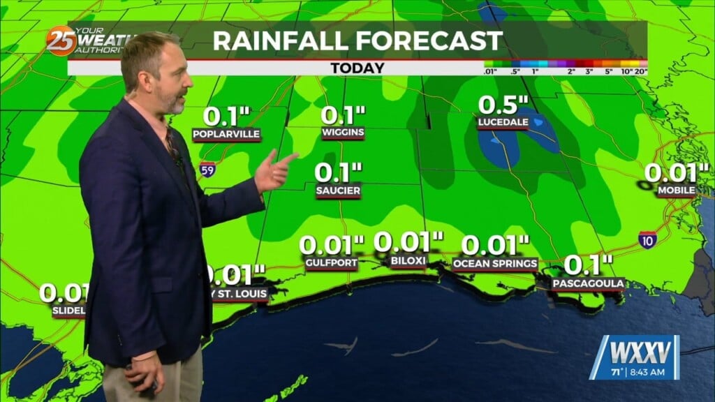
Monday looks to be a similar day compared to Sunday with showers and a few storms ongoing early in the morning, becoming more widespread through the mid/late morning and into the afternoon hours. Over the next several days, expect a usual summertime pattern, with shower and thunderstorm activity beginning over the Gulf and near the coast late at night into the early morning and then transitioning over land for the afternoon/evening.
High temperatures Tuesday and Wednesday afternoons will generally be in the mid to upper 80s at the coast, then in the upper 80s to lower 90s further inland. Meanwhile, low temperatures will be in the upper 60s to lower 70s north of I-10 and in the lower to mid 70s south. Some spots at the immediate coast could see warmer lows, in the upper 70s.
Going into Thursday, high pressure temporarily builds into the Deep South and extends east into the northern Gulf. This may help to lower rain chances a tad and keep any spotty shower/storm chances confined to mainly the afternoon hours from peak heating. It’ll be Friday going into the weekend where the next cold front teases us by approaching us from the north, but washes out and slows down as a stationary front somewhere near or across the northern Gulf coast. This may be yet another window of widespread heavy rainfall – leading to some level of flash flooding risk Friday through Sunday, and possibly into next week. Right now, it’s just something for us to keep an eye on for now and will dive deeper into details getting closer into the middle parts of the upcoming week.


