05/24 – Brantly’s “Mostly Sunny and Warm” Monday Morning Forecast
High pressure will dominate the area for the next few days. Southerly surface winds will help to enhance the moisture and warm air moving into the area. As a result, rain chances will be low for the next few days. High temperatures are forecast to be in the upper 80s for most locations Monday and Tuesday. Model consensus was indicating temperatures to be in the mid-80s, but it is likely thanks to the southerly winds and high pressure that we will over-achieve the model guidance for the high temperatures. As a result, high temperatures were bumped up a few degrees in the forecast for the next few days.
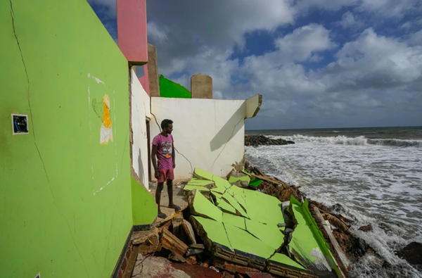
Coastal flooding will still be a concern tonight into tomorrow evening, at least. While the easterly/southeasterly winds have backed off speed-wise, they have not shifted direction. And the rivers to the west of Lake Pontchartrain are still high and slowly struggling to drain the water that was received last week. This will further complicate the drainage of backwater/inland locations south and west of Lake Pontchartrain.
The winds are not expected to shift away from easterly/southeasterly for several days, so it will still take a few days for the water to be able to drain properly. Additionally, we are entering a higher than normal high tide cycle over the next few days with a full moon spring tide cycle. As such, some of the levels that were observed today at the gauges may be the lowest the water will fall for the next few days.
Due to the lingering coastal flooding issues currently, as well as fact that water levels are forecasted to be higher during the high tide periods than current water levels today, the Coastal Flood Warnings and Advisories have been extended through at least 6 PM Monday. Additional advisories or warnings may be needed later this week.


Leave a Reply