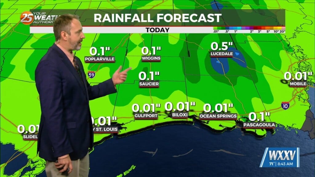
04/29 – Brantly’s “Warm and Muggy” Thursday Forecast
As the weak front slowly moves through the area, this will support slight chance to a good chance of rain returning to the area late Thursday night and Friday. Lows tonight will be mostly in the mid 60s with patchy fog, then lows Thursday night will be in the mid to upper 60s. Highs on Thursday range from around 80 at the immediate coast to the mid to upper 80s elsewhere. Highs on Friday will be moderated by the passage of the front and range from the upper 70s to lower 80s along the coast to the lower to mid 80s farther inland.
The cold front will drift offshore Friday night with a slightly cooler and drier airmass moving into the area through early Saturday morning. The front will return northward as a warm front late in the day on Saturday into Saturday night as low pressure develops near southeastern Texas. The drier airmass behind the front will keep conditions dry through much of the period.
Friday night lows will be cooler, in the mid 50s to lower 60s north of I-10 and in the lower to mid 60s south. Highs on Saturday will be in the low to mid 80s. Moisture will gradually begin to increase once again late Saturday night, leading to lows generally in the lower to mid 60s.


Leave a Reply